McGeachie Conservation Area Day Trip from Toronto: Guided Hike on Steenburg Lake
.jpg)
Overview
There's a 500-acre forest in Hastings County that hasn't been logged since the 1870s. You've almost certainly never heard of it.
A forest that time forgot
McGeachie Conservation Area sits on the north shore of Steenburg Lake, about three hours northeast of Toronto. The land was donated to the Crowe Valley Conservation Authority in 1994 by Jack and Ethel McGeachie, whose family had stewarded it for generations. The original 1860s homestead is still standing on the property, now a rental cottage, but the real headline is the forest itself. After the original white pine logging in the 1870s, this land was largely left alone. Walk the trails today and you're moving past oaks, maples and basswoods that have been quietly putting on rings for more than a century.
Your guide leads the way
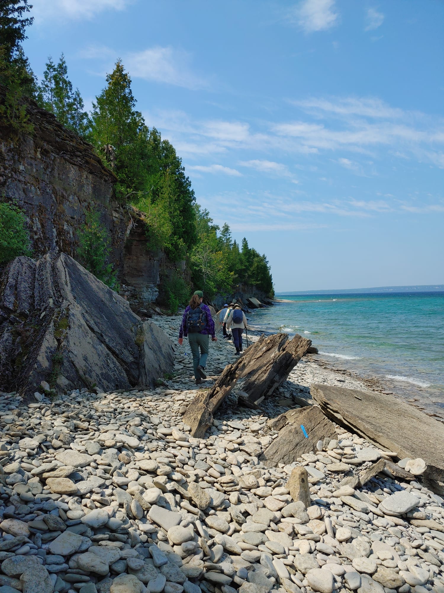
Here's where this trip earns its keep. McGeachie is laid out as six interconnected loops (Blue, Orange, Black, Green, Red, Purple), totalling about 8 km, with no maps available on-site beyond the trailhead sign. Picking a route on the fly is doable but unrewarding. Going with a Parkbus guide who knows the property is the difference between a nice walk in the woods and an actual experience.
Your guide leads the hike start to finish. They set the pace, pick the loop combination that fits the group, and stop along the way to point out what most hikers walk straight past. The 1860s homestead and what it tells you about settler life in this corner of Ontario. The exposed Canadian Shield geology and the glacial story behind those car-sized boulders sitting in the middle of the forest. The beaver pond lookouts (and the lodge you can usually spot in the middle of the water). The mix of upland hardwood and lowland cedar-hemlock, and why the same property looks like two different forests depending on what side of the ridge you're on. The early-June wildflowers and the surprising variety of mushrooms tucked into the humus.
The trail system
About 8 km of marked trails are laid out in interconnected loops, so the group can pick a length and difficulty that suits the day. Nothing punishing. Just easy-to-moderate forest walking with a few rocky sections, beaver pond lookouts, and old-growth feel. Your guide will set the pace and point out what's worth noticing.
Cooling Off
Parkbus does the driving
So here's the deal. We handle the route, the parking, the navigation, the 3-hour drive past every Tim Hortons in central Ontario. You handle showing up at the pickup with a packed lunch and decent footwear.
This is an ActiveDays trip, which means it's built around the social side of getting outside. Casual pace, friendly group, low-pressure vibe. The guide is there to keep things moving and to share what makes this place unusual. It doesn't matter if you're coming solo, with a friend, or with someone who's never done a guided hike before. Solo travellers are the rule on these trips, not the exception. Strangers swap snacks at the trailhead, compare bug spray brands, end up walking the second loop together, and exchange Instagram handles on the bus ride home. That's just how these days tend to go.
What's waiting for you
- A guided hike led start to finish by your Parkbus guide. No second-guessing the trail markers, no wondering which loop connects to which. Just walking and listening and looking.
- A genuine old-growth feel without the four-hour drive to Algonquin. Trees here predate Confederation, more or less, and you can tell.
- Beaver dams you can actually walk up to, with at least one lookout where you might spot the lodge in the middle of a quiet pond. Your guide will point out the active engineering.
- A 1860s homestead still standing on the property. Your guide brings the story of who built it and why.
- Canadian Shield geology on full display. Granitic bedrock, glacial erratics, and a guide who can explain what you're looking at without making you feel like you're back in Grade 10 earth sciences.
- The kind of stillness that requires no app, no playlist, and no effort. Loons calling on the lake. Wind in the hemlocks. The occasional cyclist on the trail, but mostly just trees.
- A near-zero chance of running into anyone from your office. Genuinely. This place is that off the radar.
Pickup Locations
34 Asquith Avenue
Pick up at 34 Asquith Ave, just north of the Yonge and Bloor Subway stop. We recommend getting there 15 minutes early to make sure you have enough time for the bus.
Departure Time
8:30 AM
Return Time
8:30 PM
1
McGeachie CA
Estimated arrival
11:30 AM
Departure
2:30 PM

2
Crowe Bridge CA
Estimated arrival
2:30 PM
Departure
5:30 PM
Where exactly are we going? McGeachie Conservation Area, on the north shore of Steenburg Lake in Hastings County. The trailhead is at 363 Steenburg Lake Road North, in the hamlet of Gilmour, about 28 km south of Bancroft. Roughly 3 hours from Toronto.
Is this a day trip or overnight? Day trip. We leave Toronto in the morning, hike with your guide, and bus back the same evening.
Is the hike guided the whole time? Yes. Your Parkbus guide leads the hike from trailhead to trailhead. They pick the loops based on the group, set a pace that works for everyone, and stop along the way to share what makes McGeachie unusual (forest history, geology, beaver ecology, the 1860s homestead, what's blooming, what's making that sound). You can ask as many questions as you want. They've heard weirder ones.
How hard is the hiking?Easy to moderate. The trail system is about 8 km of interconnected loops with rolling terrain, some exposed rock, and a few rooty bits, but nothing technical. Plan on covering anywhere from 4 to 8 km depending on pace and group preference.
Do I need to be experienced? No. If you can comfortably walk for a few hours on uneven forest trails, you'll be fine. Good footwear matters more than fitness here.
What should I bring? Hiking shoes or boots with grip, weather-appropriate layers, a packed lunch, snacks, at least 2L of water, sunscreen, and bug spray (June in the Canadian Shield means mosquitoes and black flies, no point pretending otherwise). A small daypack is ideal.
Is there cell service? Patchy at best. Treat it as a day off your phone.
Are there washrooms? A portable toilet at the trailhead parking lot. That's it on the property. Plan accordingly.
Can I bring my dog? Not on this trip.
Are there bugs? This is the Canadian Shield in early June, so yes. Black flies and mosquitoes are part of the deal. A good repellent and lightweight long sleeves go a long way. The forest cover helps.
What if it rains? We go. Bring a rain shell. The trails are well marked, your guide knows the route, and the forest canopy takes the edge off most weather. We only cancel for genuinely unsafe conditions, in which case you'll hear from us in advance.
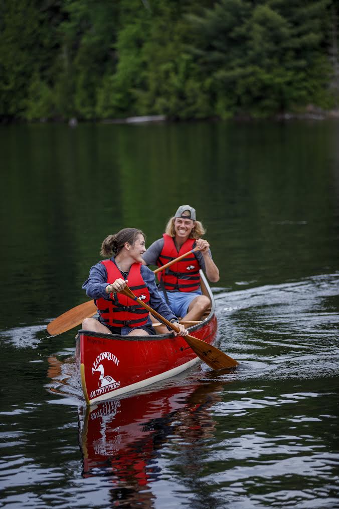
Will we have time to swim or see the lake? The Steenburg Lake public beach is about 1 km from the trailhead and an option for a post-hike dip if the group's into it and the day allows. Your guide will know the timing on the day.
Why does this place matter? Two reasons. One, the forest is genuinely old. Most of southern and central Ontario was logged hard and then logged again. McGeachie is a rare 500-acre pocket that's been mostly untouched since the 1870s, so the trees, the understory, and the wildlife all feel different. Two, the McGeachie family donated this land specifically so the public could enjoy it. Conservation areas like this exist because someone decided not to sell.